Tel Aviv's municipality confirmed this week that it has begun a structured audit targeting duplicate and outdated images embedded across its official digital platforms, public signage systems, and urban planning portals — a project that city hall says has been in preparation since late 2025 and moved into active implementation in late June 2026.
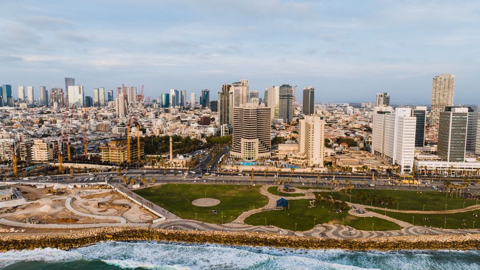
The timing matters. Tel Aviv has spent the past three years consolidating its digital services under the Smart City directorate headquartered on Ibn Gavirol Street, and a growing backlog of redundant visual assets — some dating to infrastructure photography taken before the 2021 redesign of Rothschild Boulevard — had become a recognised problem inside municipal IT teams. Duplicate imagery slows load times on public-facing portals, creates inconsistencies in planning documents reviewed by residents, and complicates the work of accessibility-compliance teams who must tag visual content under Israel's Equal Rights for Persons with Disabilities Law.
What the Audit Covers and Where It Started
The audit began with two high-traffic systems: the Tel Aviv Digital Map portal, which draws roughly 40,000 unique sessions per month according to the municipality's own published usage figures, and the resident-services platform known as Digi-Tel, which has more than 850,000 registered users citywide. Both systems had accumulated overlapping image libraries built up through successive content migrations, with some photographs appearing in as many as four separate database entries under different file names.
The project is being run in coordination with the Tel Aviv-Yafo Municipality's Urban Digital Unit and an external vendor contracted through a public procurement process completed in March 2026. The work is concentrated in three neighbourhoods first: Florentin, the Old North around the area of Nordau Boulevard, and the rapidly redeveloping Shapira quarter near the Central Bus Station on Levinsky Street. Those zones were prioritised because they have the highest volume of recently submitted building permits and planning update requests, which generate the most new visual documentation.
Teams are using automated detection software to flag images sharing more than an 85 percent pixel similarity threshold, after which human reviewers confirm whether the duplicate is a true redundancy or a legitimately distinct photograph taken at a different date or angle. The municipality has not published a full cost figure for the project, but the procurement document listed the contract ceiling at 1.2 million shekels for an 18-month engagement.
Why Residents and Developers Should Pay Attention
For ordinary Tel Aviv residents, the most visible consequence will arrive in the autumn, when the municipality plans to push an updated version of the Digi-Tel app that will feature refreshed neighbourhood image galleries. Property owners and architects who submit planning applications through the city's online portal — a process that has been fully digital since January 2024 — may also notice that reference images attached to approved permits in Florentin and Shapira will be updated to reflect current street-level conditions rather than pre-construction photographs that no longer match reality on the ground.
The broader issue of digital-asset hygiene has grown more pressing as Tel Aviv prepares for the next phase of its Tel Aviv Smart City 2030 master plan, which calls for a unified visual database linking planning records, emergency-services maps, and the public tourism platform maintained by the Tel Aviv-Yafo Tourism Association on HaYarkon Street. If that integration proceeds with duplicate imagery still embedded in source systems, the errors would propagate across all connected services simultaneously.
The audit is scheduled to complete its first full pass by September 30, 2026. Residents who spot mismatched or clearly outdated images on official municipal platforms can report them through the existing 106 city services hotline or through the online fault-reporting tool on the Tel Aviv-Yafo municipality website. City hall says reports submitted before August 1 will be folded into the current audit cycle rather than queued for a separate review. Given how much of daily urban administration now runs through these platforms, getting the visual layer right is less a cosmetic concern than an operational one.