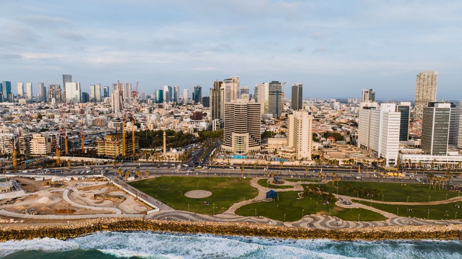
Tel Aviv's municipal digital archive contains more than 340,000 photographs documenting the city's streets, parks, and public infrastructure — and for years, a significant portion of those images were duplicates. The problem quietly accumulated across more than a decade of fragmented procurement decisions, and the effort to fix it has become one of the more unglamorous but consequential data-cleanup projects in the city's recent administrative history.
The timing matters now because the Tel Aviv-Yafo Municipality is mid-way through a broader digitisation push tied to its Smart City 2025–2030 master plan, approved by the city council in late 2024. Duplicate imagery doesn't just eat up server storage — it degrades search results in public-facing portals, slows down the GIS mapping tools used by planners on projects from the Ayalon Highway corridor redevelopment to the light-rail integration along Ibn Gabirol Street, and complicates freedom-of-information requests filed by residents and journalists alike.
How the Duplication Built Up
The root of the problem goes back to the early 2010s. The municipality's Engineering Administration and its separate Department of Environmental Services both ran independent photography contracts covering overlapping geographic zones. Street-level documentation of neighbourhoods like Florentin, the Old North, and Neve Tzedek was commissioned multiple times by different departments with no shared metadata standard and no centralised ingestion system. When the city migrated to a unified digital asset management platform — the tender for which was awarded in 2019 — contractors uploaded legacy material from multiple siloed hard drives without deduplication checks.
The GIS and Mapping Unit, based at the municipal campus on Ibn Gabirol, flagged the scale of the problem in an internal review completed in early 2022. That review estimated roughly 18 percent of images in the archive were exact or near-exact duplicates, with a further 9 percent classified as "functionally redundant" — meaning they showed the same location under nearly identical conditions within a 30-day window. Together, those two categories accounted for tens of thousands of files consuming licensed cloud storage that the city pays for annually.
The Dizengoff Center area and the stretch of Rothschild Boulevard between Habima Square and Allenby Street appear disproportionately in the duplicate clusters, partly because both locations were used repeatedly as reference points for contractor quality-assurance shoots under different contracts. A single fire hydrant on a side street near the Carmel Market was documented in 47 separate image files, according to figures circulated at a 2023 municipal transparency forum.
The Cleanup Effort and Where Things Stand
The municipality contracted with a local tech firm to run automated hash-matching and perceptual-similarity algorithms across the archive starting in March 2024. By the end of that year's third quarter, the firm had flagged approximately 61,000 files for review. Human reviewers — a team of six archivists working out of the city's Records and Documentation Department on Menachem Begin Road — then assessed flagged batches to confirm which images could be safely retired to cold storage rather than deleted outright.
The project has cost the municipality roughly 1.4 million shekels to date, according to a line item in the supplementary budget approved by the city council's Finance Committee in November 2025. That figure covers both the software licensing and the archival staff time, but does not include the original procurement failures that created the duplication in the first place.
For residents and civic organisations that rely on the public image portal — including urban planning advocacy groups like Ir Amim and researchers at Tel Aviv University's Azrieli Faculty of Architecture — the practical payoff is a faster, more reliable search tool. The portal, accessible through the municipality's open-data subdomain, is expected to relaunch with cleaned metadata in the fourth quarter of 2026. City officials have indicated they plan to publish a retrospective technical report on the deduplication methodology, which could serve as a reference for other Israeli municipalities facing similar archival backlogs in Haifa, Beersheba, and Rishon LeZion.